The Met Office has issued a rare red weather warning amid Storm Eowyn and there is a danger to life alert in place.
People are being told to stay indoors as the Met Office has issued a rare red weather warning as Storm Eowyn is set to bring winds of 100mph and it is the “most dangerous” storm in generations.
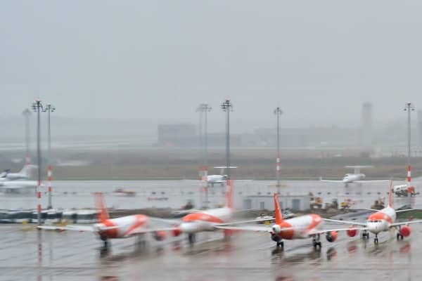
The Met Office has warned “roads, bridges and railway lines closed, with delays and cancellations to bus, train, ferry services and flights.”
European storm forecasters Estofex has issued a level 2 alert on Thursday, warning there is a “risk of a few tornados.”
“A strong event cannot be ruled out,” they said.
“Given rapid translation of thunderstorms, any tornado could be long-tracked… The main tornado risk seems to evolve along and [south] of a Bristol-London line.”
The AA has warned there will be “very dangerous” driving conditions and they are strongly urging motorists to “postpone” your journey.
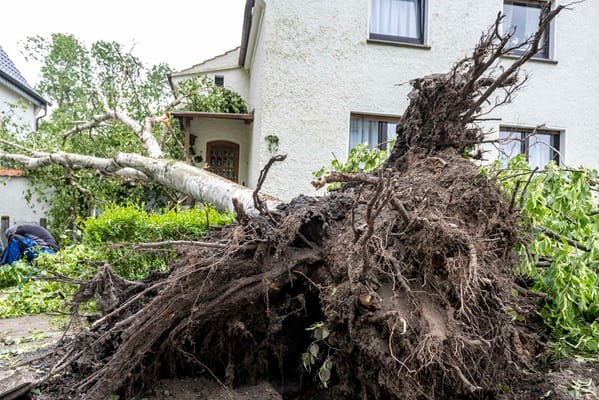
In rural areas the AA are warning to expect fallen trees, branches and debris on the roads which will make driving conditions hazardous.
Ensure you have breakdown cover and if you do travel make sure that you have “prepared” for what you “could encounter.”
Chris Wood, AA Patrol of the Year, said, “As the warning has risen from amber to red in the most northern and western areas of the UK, we urge drivers to consider whether their journey is necessary and if not, postpone it.
“If you do need to travel, make sure you’re prepared for what you may encounter. Expect to come across fallen branches and other debris on the roads, especially in rural areas.
“Allow extra time for your journey, as it’s likely to take longer than usual.
“Pack the essentials for emergencies in case you do break down – warm waterproof clothing, a torch and a flask of hot drink. Ensure your mobile phone is fully charged and download the AA app and what3words to help us get to you faster if the worst should happen.”
Met Office chief meteorologist Paul Gundersen said on Thursday, “We reserve the issuing of red warnings for the most severe weather which represents a likely danger to life and severe disruption, and that is the case with Storm Eowyn.
“While it will be widely very windy on Friday, with additional hazards from rain and snow, the strongest winds and most significant impacts are likely in Northern Ireland and central and south-western parts of Scotland within the red warning areas, where winds could gust 80-90mph quite widely for a time, and potentially up to 100mph for exposed coasts in particular.”


Leave a Comment